Director
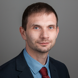
Ingus Mitrofanovs
The Institute of Geodesy and Geoinformatics of the Faculty of Science and Technology (FST) was founded in 1924 and successfully worked until 1944. From the very beginning of the Institute, its main action lines were related to the issues concerning geodesy and design of various geodetic instruments. The Institute was re-established in 1994 and ever since has been successfully working as the leading scientific institute in such scientific and research fields as:
- Satellite geodesy and geoinformatics;
- Development of mounting and control software for satellite laser ranging (SLR) systems;
- Exploration of vertical deflection measurements;
- Development and exploration of gravitational field and quasi-geoid models;
- Exploration of vertical and horizontal displacements of the Earth’s surface;
- Astrometric observations of artificial and natural space objects and data processing;
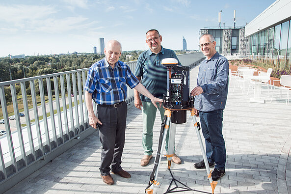
- Development of digital zenith cameras and taking measurements for determination of vertical deflections;
- Support for application of geoinformatics – GIS, spatial analysis and simulation, analysis of long-distance data;
- STATBOX – acquisition of statistical data from video files, its analysis, situation modelling and monitoring;
- Development of an innovative technologies and educational tools in STEAM fields.
The Institute has successfully implemented and continues to implement a number of fundamental and applied research projects receiving international and national funding as well participates in international professional organizations and unions.
The Institute's research in geoinformatics and expertise in the design of astro-geodetic instruments, and the development of their control and data processing software have gained international recognition.
FST GGI currently employs 14 workers, out of which 9 have obtained a doctoral degree in various fields of science (geodesy, geoinformatics, astronomy, physics, geography, electronics).