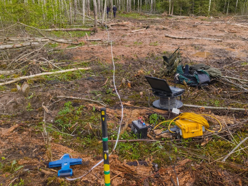
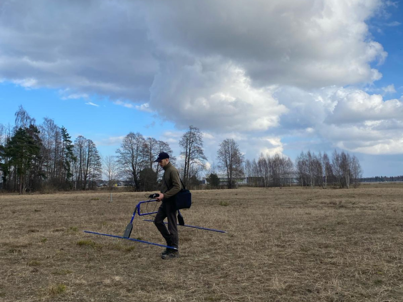
Seismic survey (MASW) for the planned wind farm in Aloja, Latvia.
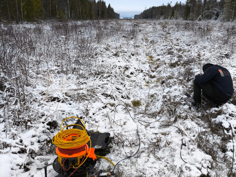
Shear wave speed measurements along the planned RB railroad track in Estonia.
Research
The research group members conduct regular research in collaboration with state institutions as well as representatives of the private sector. Extensive research is conducted related to the behaviour of soil under cyclic loading conditions. Both academic research and research in collaboration with representatives of the private sector are also conducted, dedicated to mapping the soil contamination.
The research group members are involved in the development of various standards for geotechnical and geophysical research related to the field. The research group actively participates in the improvement of engineering geology and geotechnical research methods, as well as are involved in the development of industry-related national and international standards in geotechnical and geophysical research. In collaboration with industry partners, high-level field research is carried out, including seismic measurements, as well as soil testing in the laboratory, which are essential for ensuring construction safety and sustainable development of territories. Such cooperation creates a modern knowledge platform based on both academic excellence and solving real problems.
Main research topics:
- Soil behaviour under dynamic loading;
- Man-made vibration monitoring;
- Contamination and karst processes;
- Soil Static Mechanics;
- Contemporary Geological Processes.
Main research methods:
- Soil electrical resistivity measurements (ERT);
- Seismic wave velocity measurements (MASW, S and P-wave tomography);
- Determination of soil internal friction angle (φ) and cohesion (c) under various drainage conditions using triaxial tests (CU, CD, UU), as well as simple or direct shear apparatus;
- Shear strength of soil in terms of total and effective stresses;
- Deformation properties: elastic modulus (E), Poisson’s ratio (ν);
- Compression modulus (M₀ or Eₒₑd);
- Coefficient of consolidation (cv);
- Soil compressibility (mv);
- Overconsolidation ratio (OCR);
- Secondary compression index (Cα);
- Soil compression index (Cc)
- Ground-penetrating radar surveys (GPR)
- Natural and man-made vibration monitoring;
- Earth gravity and magnetic field measurements.
Partners
- Latvian Geotechnical Union;
- State Construction Control Bureau (SCCB);
- Latvian Standard;
- LBS-Konsultants;
- Technical Committee LVS / STK 30 “Construction”;
- Technical Mirror Committee LVS / STK 30 / AK2 “Geotechnics”;
- ELWIND;
- SIA “Kurzeme Offshore”;
- SIA “Knauf”;
- SIA “Geolite”;
- SIA “Markvarta ģeotehniskais birojs”;
- SIA “Vides Konsultāciju birojs”;
- SIA “Ģeo Eko risinājumi”;
- AS “Ceļuprojekts”;
- SIA “Ģeo”;
- SIA “Borealis”;
- Latvian Environment, Geology and Meteorology centre
Publications
Publications
Džeriņš, P., Karušs, J., Lamsters, K., Ješkins, J., Ķelpe, A. 2023. Investigation of buried karst sinkholes under bog using GPR and ERT methods. Earth surface processes. 48(10), 1909-1925.
Karušs, J., Džeriņš, P., Lamsters, K., Ješkins, J., Stinkulis. Ģ. 2023. Limitations in detectability of air-filled gypsum karst cavity by electrical resistivity tomography, a case study from the Baltic Devonian sedimentary basin. Estonian Journal of Earth sciences. 72(2), 185-196.
Karušs, J., Lamsters, K., Poršņovs, D., Zandersons, V., Ješkins, J. 2021. Geophysical mapping of residual pollution at the remediated Inčukalns acid tar lagoon, Latvia. Estonian Journal of Earth sciences 70(3), 140-151.
Lamsters, K., Karušs, J., Stūrmane, A., Ješkins, J., P. Džeriņš, P. 2022. Mapping of large-scale diapir structures at the paleo-ice tongue bed in western Latvia from geophysical investigations and borehole data. Quaternary International, DOI: 10.1016/j.quaint.2020.12.003.
Zandersons, V., Karušs, J. 2020. Gravity-derived Moho map for Latvia. Estonian Journal of Earth Sciences 69(4), 177-188. doi.org/10.3176/earth.2020.19
Projects
2020 – 2021 Integration and use of geophysical data in soil contamination mapping. lzp-2020/2-0171; LU reg. No. LZP2020/80
2022. Electrical tomography survey in historically contaminated area in Aizkraukle. No. ZD2021/21238
2023. Soil condition feasibility study for the planned wind farm in the Baltic Sea area along the Kurzeme coast, using available geological data. Commissioned by “Kurzeme Offshore” LLC.
2022. National seismological monitoring for the 2023 – 2026 period. Commissioned by the Latvian Environment, Geology and Meteorology centre.
Head of the Centre
Asoc. prof. Jānis Karušs
Karst feature mapping using ERT in Salaspils Latvia.
Hydrocarbon contamination mapping using GPR in Skulte, Latvia.